Matthew Roberts and Greg Davis just returned from a few days in the Bradshaws. Matthew did a very nice write-up on the LDM.com site.
While they believe they were at the Bully Bueno Mine, they are not sure which of two was the correct mine. There is good reason for that. There are as many "locations" for the Bully Bueno, as there are for the LDM.

Not many people, today, know the correct location of the Bully Bueno and the misreading of Richard J. Hinton's books have been pegged as one of the reasons for that confusion.
Maps from that era are just as confusing, and very inaccurate. If you are standing in front of a mine that you feel could be the Bully Bueno, how can you know.....for sure?
Short of knowing people who know the location of the old mine, your best bet, IMHO, would be to look at the best evidence available. That would be a
detailed description of the mine from that era.
Here is just such a description:
Turkey Creek mining District
"A number of gold veins have been located and opened in this district , and a splendid stamp mill was erected by the Bully Bueno Company, but none of these mines have proved successful.
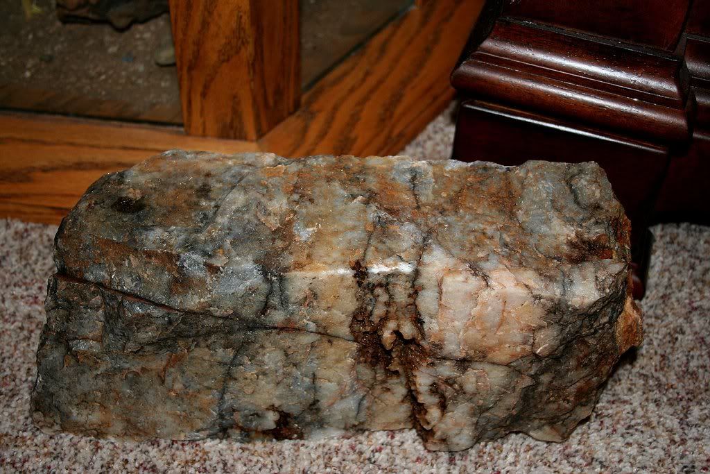
The claim on which the most work has been done is the Bully Bueno, which is a deposit quite as singular as its barbarous name. It is one of many illustrations, so frequently met with in the West, of how mining ought not to be carried on. "A splendid stamp mill was built by this company, an eastern association, before the mine was the least developed, and when this was finally accomplished, it was only to prove that the mine was not worth it. The mining works are located on two hills, separated by a deep gulch, about one and a half mile south of Turkey creek. The deposit is an irregular body of quartz, filled with large patches and threads of hornblende. It occurs in metamorphic slates running northeast and southwest, and dipping steeply to the northwest, and the quartz bodies strike and dip with them. These constitute no vein, but are lenticular masses, entirely independent of and overlapping each other, as plainly shown in the shafts and tunnnels. These are well planned and located and had the mineral matter proved sufficiently rich to pay they could have supplied a twenty-stamp mill with ore.
Near the top of the southern hill a cut along the vein, 300 feet long, and 20 to 30 feet deep, has been made, and the hornblende quartz, 3 1/2 to 4 feet wide, has been entirely removed. Lower down on the hillside is a tunnel, 60 feet long, in which a winze is sunk to the depth of 40 feet. Still lower down, and about 100 feet above the bottom of the ravine, is another tunnel, 230 feet long. In this tunnel are two shafts; the one near its mouth is in the hanging wall of the deposit, and strikes it at a depth of 35 feet; the other is a short distance in the tunnel, and is sunk on an incline of 85 degrees. In this tunnel the lentincular shape of the deposit is well shown. Where the second shaft is sunk, the body of ore followed in the tunnel from the surface thins out and finally ceases, and another is met within a crosscut of 8 feet in the hanging wall. Where fullest developed these bodies are 7 feet wide. Horneblende is found in great-quanity in the quartz throughout, but not a trace of pyrites. It is claimed that at one point at the surface where the horneblende was entirely decomposed, imparting a rusty color to the quatz, this ore yielded over $100 per ton in arastras and that a number of tons of this rich ore were so worked, where upon the property was sold to the company that now owns it. It is certain, however, that the great bulk of the ore does not contain more than $8.00 per ton. Large piles of this lie about the mouth of the several shafts and tunnels and at the foot of the chute, which is built in a substantial manner from the lower tunnel to the bottom of the ravine, where the wagons were to receive the ore.
On the opposite hill occur two zones of the same nature as just described, one of which lies very nearly in line with the works on the other side, while the other is parallel to the first and west of it. The eastern one has been opened by two inclines. In the upper one, which is fifteen feet deep, a body of quartz and hornblende shows right at the top,
but it pinches out four feet from the surface. The remainder of the shaft is sunk in slate. The lower incline is sunk forty feet deep upon a large mass of quartz and hornblende, at least eight feet wide. At this point, it is claimed, the ore was found on the surface, which proved so rich in arastras. The mill on Turkey Creek was evidently a substantial structure, and contained twenty stamps and ran by steam engine. It has been burnt to the ground by Indians during the last spring, and the rusty and bent remnants of the stamps and other machinery, entirely worthless in this place, are all that remains. The distance from this place to Prescott, by a very good trail, is twenty-two miles, by wagon road about forty miles."
ARIZONA WEEKLY MINER, PRESCOTT, ARIZONA, SATURDAY MORNING, APRIL 5, 1873
-----------------------------------------------------------------------------
I don't know if Matthew and Greg had this information, but had I known they were going to make the trip, I would have offered it gladly. Once on site it would be obvious, with the above description, if you were at the Bully Bueno.
Greg,
Do either of the mines you believed to be the Bully Bueno match the above description? Did you take a GPS along?
Joe