Over the past month, I’ve been poring over Cerro Negra, trying to gain more understanding of the orebody and the mining that took place there. Dozens of rocks were gathered, cut, stared at with a loupe, outcrops were photographed, etc., and finally, while looking at Cerro Negra with Google earth, I realized the magnificence of what had taken place, and it took my breath away.
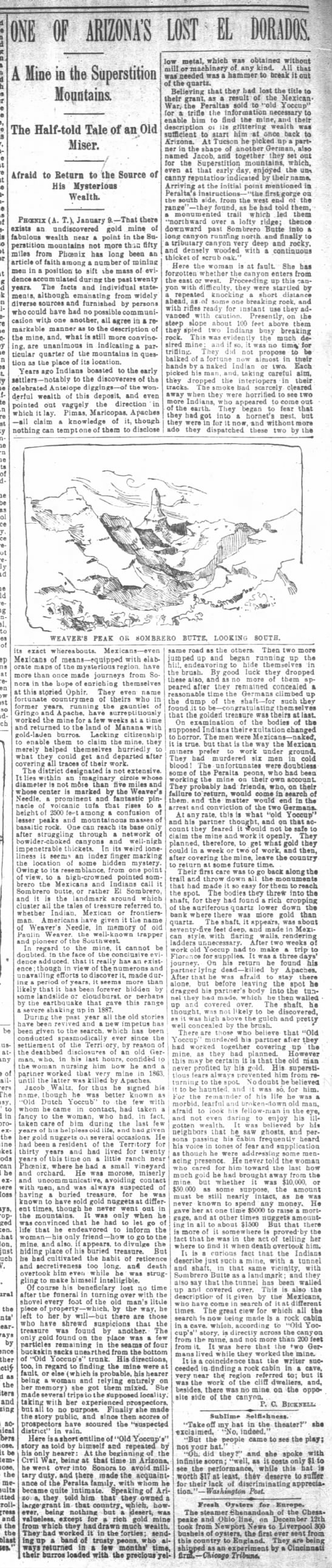
The “Great Mine” north of the Superstitions was described in the Phoenix Herald and Republican in 1893, and a portion of the article is in the opening post of the thread “Ancient Goldfield Mines” thread started by Dr. Glover. Joe Ribaudo discovered the article in the book “Arizona, the Last Frontier”, by Joseph Miller. Here is the excerpt (again):
“Over on the north side of this wonderful mountain so peculiar in shape, standing like the ruins of some great walled city with its tall spires and huge monuments, there has been discovered an ancient mining camp. Whether this mining was done by the Indians and Mexicans of the last century, or whether the operations date to years when de Vaca and Black Stephen started from the coast of Florida to find the gold fields toward the setting sun, may never be known. It is certain, however, that there are shafts and tunnels and drifts and stopes and the clearly-defined walls of a great mine. On the dumps are found tons of rock which without doubt came out of these workings.”
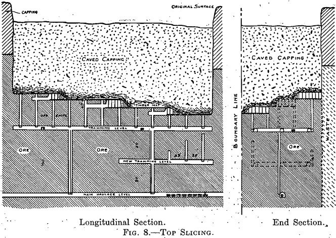
The description is of an underground mine, but how can you see the walls of an underground mine? It is surmised that the only thing it could be referring to is “subsidence” or the “cave zone”. The article said the prospectors found the mine in 1888, and they went on to find ore much richer in the Goldfield area. If this large cave zone was seen it 1888, it is certainly still able to be seen today, even if erosion has taken place.
It was described in a previous post that the only mining method available in the mid-1800’s and earlier for mining bulk ore was the top-slicing method. This was the precursor to block-caving and was used at Inspiration and Morenci, Arizona.
Well, let’s get to the good stuff. First, this is diagram of a typical VMS deposit. The Cerro Negra orebody is a little different in that it was formed under a layer of basalt, about 100 feet thick, but there is still abundant jasper, and jasperoid that vented through the basalt to the surface.

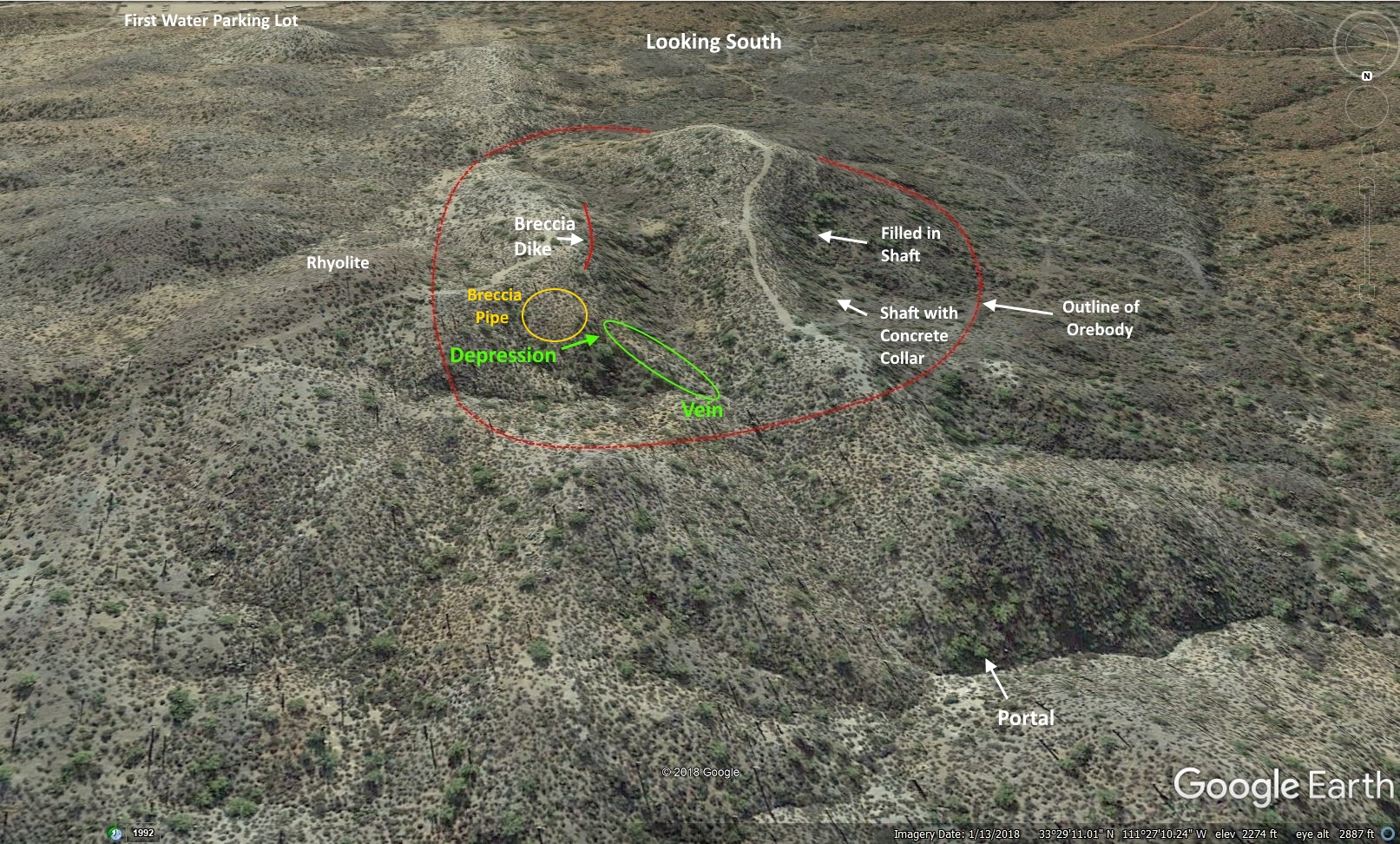
This is looking north towards the Cerro Negra ore body. Much of the center of the uppermost portion of of the deposit has been removed forming a deep trench; I’m guessing a thickness between 10 to 40 feet was mined. It appears that they focused on the richest supergene ore beneath the drainages. The orebody lies right up against the rhyolite.

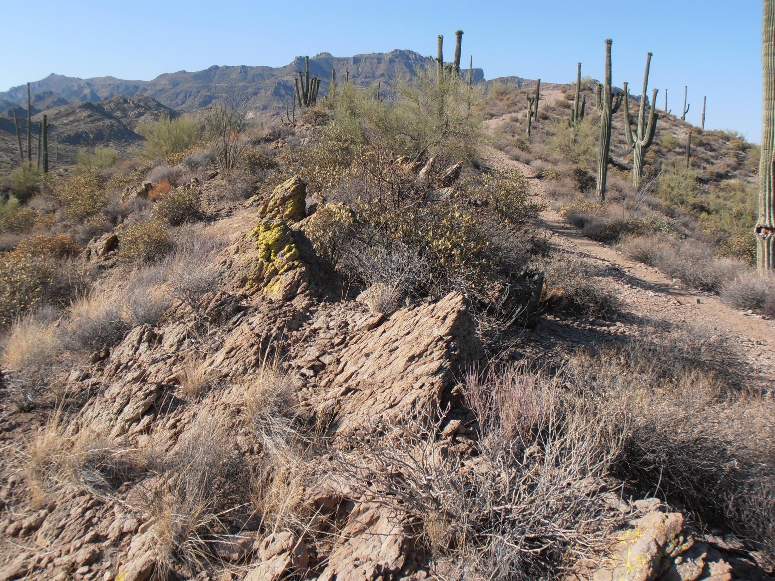
This is looking south towards Cerro Negra, it is a straight shot out to haul ore to First Water Canyon.

This is what the rhyolite looks like. It resembles the “Imperial porphyry” of Rome:

There is definite proof of subsidence and is on the ridge just north of Cerro Negra. This probably appeared long after 1848, after the timber posts and matt rotted and compressed. These are beds of silicified tuff that are tipped upwards; their edges are not eroded (Flatiron is in the background).
Even though a lot of mining took place here, they still barely scratched the surface.
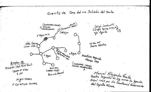
One map depicts the mine very well, in typical Spanish style, and actually shows the cave zone. This appeared about 1895 (thanks Tom Kollenborn).